Gannet ViewOpen the map
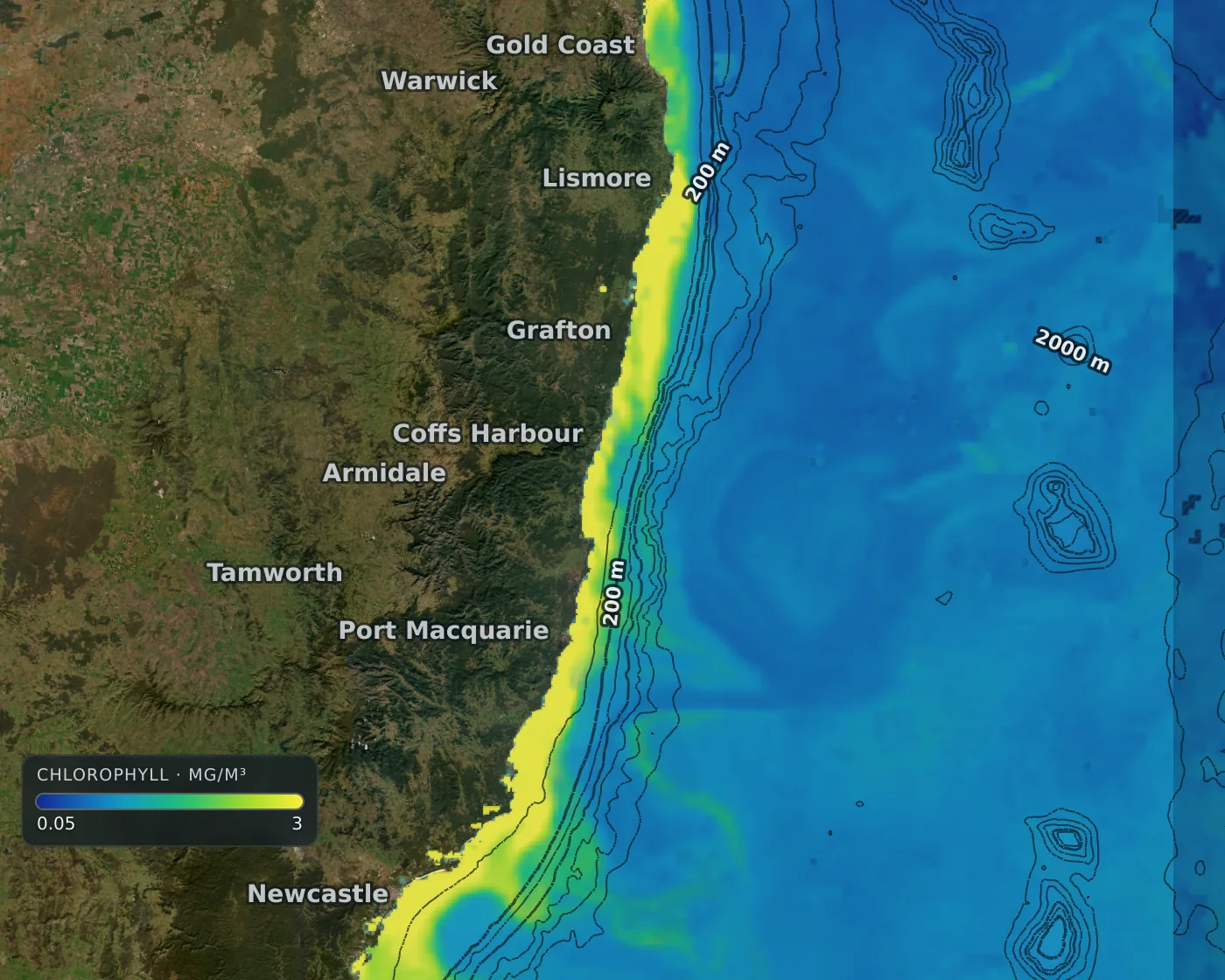
Chlorophyll concentration along the Australian east coast

Chlorophyll and clarity

Chlorophyll and water clarity

Chlorophyll at about 4 km worldwide, and water clarity as the depth you could see a white disc. Where a satellite saw the water it is drawn solid; where cloud hid it the map shows an estimate, faded and dotted, so nobody mistakes a guess for a measurement.

  • Colour key on the map, on a log scale you can read
  • Newest sighting from several satellites, matched to one scale
  • Cloud-hidden water marked as estimate, not painted over

How it works

Chlorophyll shows where microscopic plant life is blooming, the base of the marine food chain. Gannet View shows it at about 4 km worldwide on a log scale with a key printed on the map.

Water clarity is shown as the depth at which you could still see a white disc. This layer shows where the water is clear and where it is not.

Cloud blocks the satellites. Where it did, the map fills the gap with an estimate drawn faded and dotted, so it is never mistaken for a measurement.

Open the map