Temperature and eddies
Sea temperature, breaks and eddies
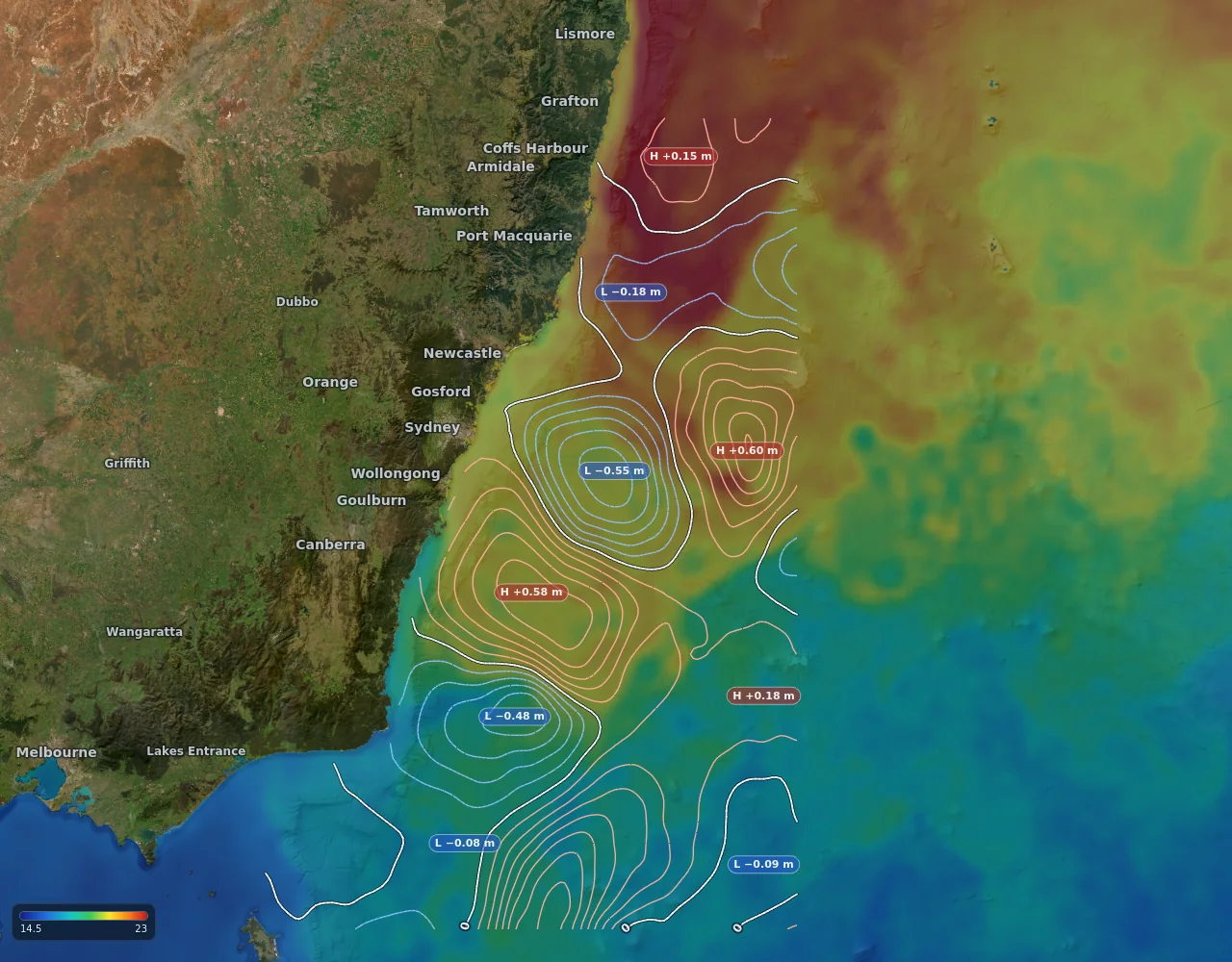
Gannet View draws sea surface temperature at 1 km where the satellites have a clear look, and measures the break for you: how sharp it is, how far away, and which way the warm water lies. Over it, sea level from satellite altimetry marks the warm-core and cold-core eddies that persist for weeks, with their strength written on them.
- Colour range you can tighten to the degree that matters today
- Temperature break distance and slope on every tap
- High and low tags on every eddy, contours in your units
- Past passes, and a forecast that fades honestly toward the model