Currents
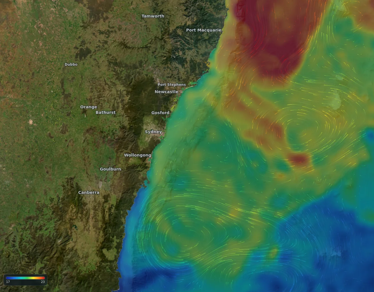
Ocean currents map
Offshore currents drawn as living streaks, coloured by temperature, at the same detail whether you are looking at a whole ocean or a single reef. Near the coast the sharper 9 km ocean model takes over from the satellite field, because that is where the satellite goes blind.
- Satellite-observed current, model forecast out seven days
- Streak length is speed; tap anywhere for knots and direction
- Radar-measured currents where we have them (US coasts today)