Gannet ViewOpen the map
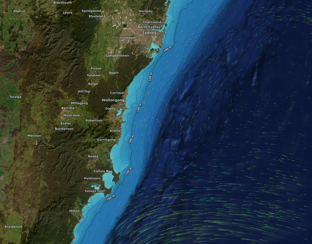
Seabed relief and depth contours with currents off Wollongong

Seabed

Seabed relief and depth

Reefs, ledges, the shelf edge and the canyons, as shaded relief and depth contours, worldwide at about 450 metres and much finer on the NSW shelf where multibeam surveys exist. Depth numbers follow your units, and the lines stay still while you zoom.

  • Shaded relief with depth lines from 30 m to 2000 m
  • Same depths at every zoom: no lines that shift as you move
  • Tap for the depth under any point

How it works

Gannet View shows the seabed as shaded relief with depth lines from 30 m to 2000 m, so reefs, ledges, the shelf edge and the canyons stand out.

The worldwide layer is about 450 m resolution. On the New South Wales shelf, where multibeam surveys exist, the detail is much finer, using data published by Geoscience Australia and AusSeabed.

Depth lines stay put while you zoom, and tapping any point gives the depth under it in metres or feet.

Open the map