Clarity
Water clarity map
How far down you could see. Clarity is drawn as the depth at which a white disc would disappear, from satellite measurements of the colour of the sea.
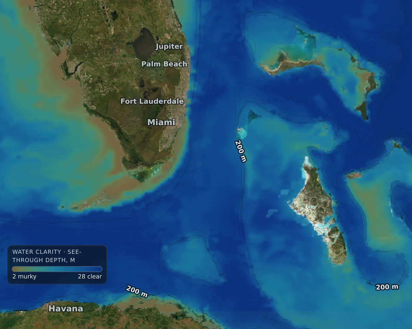
Water clarity around southern Florida and the Bahamas, from the map.
- Murky (brown) water near rivers and the coast
- Clear, deep blue water
- Colour key: see-through depth in your units
What it shows
- How far down you could see, as the depth at which a white disc would disappear.
- Worldwide, from the same satellites as chlorophyll. Cloud-hidden water is marked as an estimate.
- Colours follow your units.
How to read it
- Blue, clear water and green, murky water are different water. The line between them often marks a current.
- Use it with chlorophyll: low clarity with high chlorophyll is plant life; low clarity with low chlorophyll is likely sediment.
- Clarity after rain or a flood can change quickly near river mouths.
Gannet View shows conditions. It does not tell you where fish are, and no layer is a promise of a catch.
How fresh is it?
Updated daily, but cloud can leave it a few days old. The map shows how old. Worldwide at 4 km.
Technical details
- Source
- Copernicus Marine ocean colour, Secchi depth (ZSD), 4 km
- Drawn at
- 4 km worldwide grid
- Age of the data
- One to several days behind
- We rebuild it
- Rebuilt daily
Limits
- Same cloud and delay limits as chlorophyll.
- It is an estimate from the colour of the sea, not a measurement at your spot.