Most detailed
New South Wales
Our first region, and where we have done the most work.
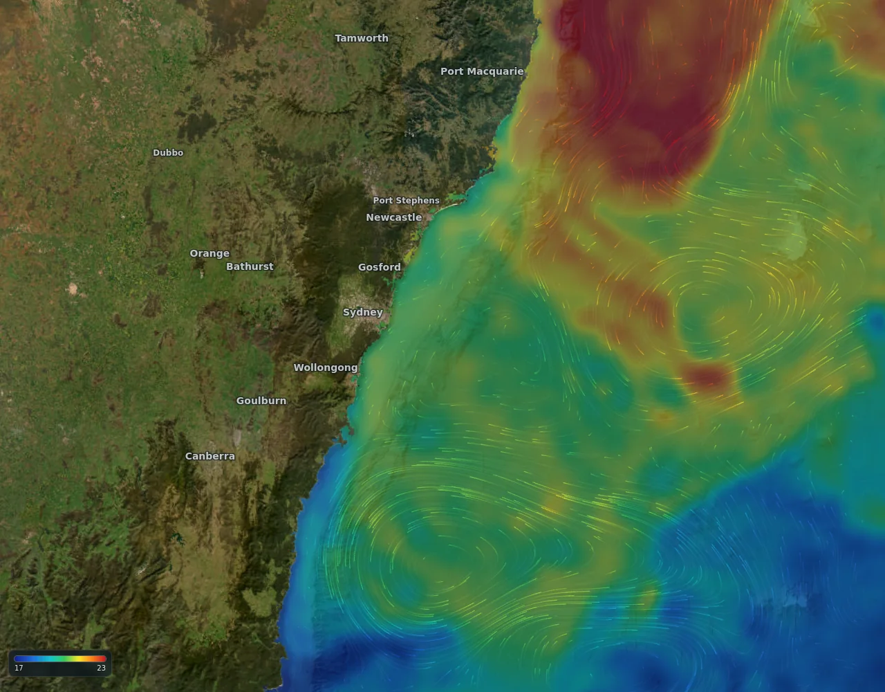
The water here
The East Australian Current carries warm water south along the coast and sheds large warm-core eddies, which drift in the Tasman Sea. The continental shelf is narrow, so the 200 m line is often only a short run from the coast.
This is general ocean science for the region, not a result from our own tests.
Fishing grounds
- Whole NSW coast, with extra survey detail on the shelf off Wollongong and the south coast.
What you get here
- All six layers, with the most detailed temperature and seabed maps we have
- A temperature and sea level forecast
Where the data comes from: Data and accuracy.
Layers on the map here
- Sea surface temperature map
- Ocean currents map
- Ocean eddy map (sea level)
- Chlorophyll map
- Water clarity map
- Seabed and bathymetry map
- What is an ocean eddy?
- East Australian Current map
Other regions: Australia, New Zealand, US East Coast and Gulf, Baja and Southern California, Hawaii, Costa Rica and Panama (Pacific), Azores, Madeira and the Atlantic islands.