Worldwide layers
Australia
The whole of Australia and its seas are covered by the six layers.
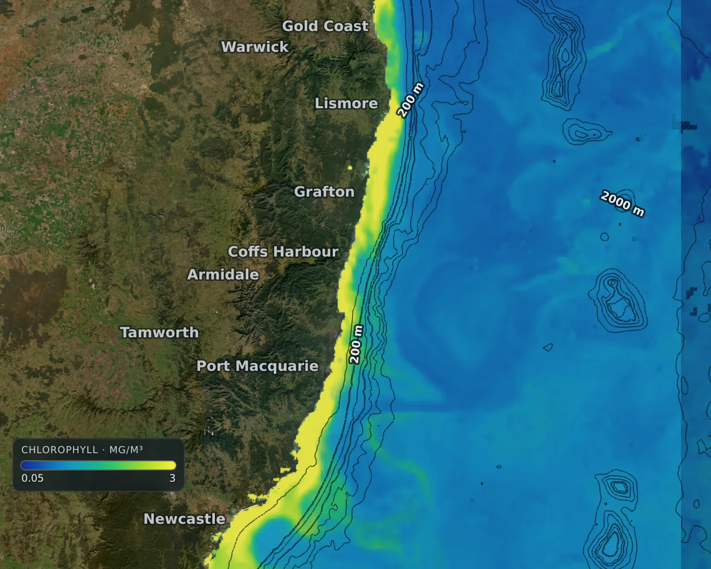
The water here
The Leeuwin Current carries warm water south down Western Australia; the East Australian Current runs south on the east; the Coral Sea and Tasman Sea sit in between. Water off the tropical north is warm all year.
This is general ocean science for the region, not a result from our own tests.
Fishing grounds
- The whole coast, from the Coral Sea to Western Australia.
What you get here
- All six layers across Australia and its seas
Where the data comes from: Data and accuracy.
Layers on the map here
- Sea surface temperature map
- Ocean currents map
- Ocean eddy map (sea level)
- Chlorophyll map
- Water clarity map
- Seabed and bathymetry map
Other regions: New South Wales, New Zealand, US East Coast and Gulf, Baja and Southern California, Hawaii, Costa Rica and Panama (Pacific), Azores, Madeira and the Atlantic islands.