Worldwide layers
Azores, Madeira and the Atlantic islands
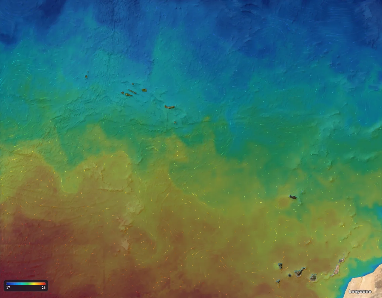
The Azores and Madeira, in the middle of the North Atlantic.
The water here
The islands sit on and near the Mid-Atlantic Ridge, in the path of branches of the Gulf Stream and of the Azores Current, so eddies and fronts pass by, and deep water lies close to the islands.
This is general ocean science for the region, not a result from our own tests.
Fishing grounds
- Azores
- Madeira
What you get here
- All six layers around the Azores and Madeira
Where the data comes from: Data and accuracy.
Layers on the map here
- Sea surface temperature map
- Ocean currents map
- Ocean eddy map (sea level)
- Chlorophyll map
- Water clarity map
- Seabed and bathymetry map
Other regions: New South Wales, Australia, New Zealand, US East Coast and Gulf, Baja and Southern California, Hawaii, Costa Rica and Panama (Pacific).